

 Accomodation (16)
 Food (6)
 Entertainment (3)
 Extreme & Recreation (3)
 Guides (8)
 Transportation (31)
 Car Rental (4)
 Photo Gallery
 Video Gallery
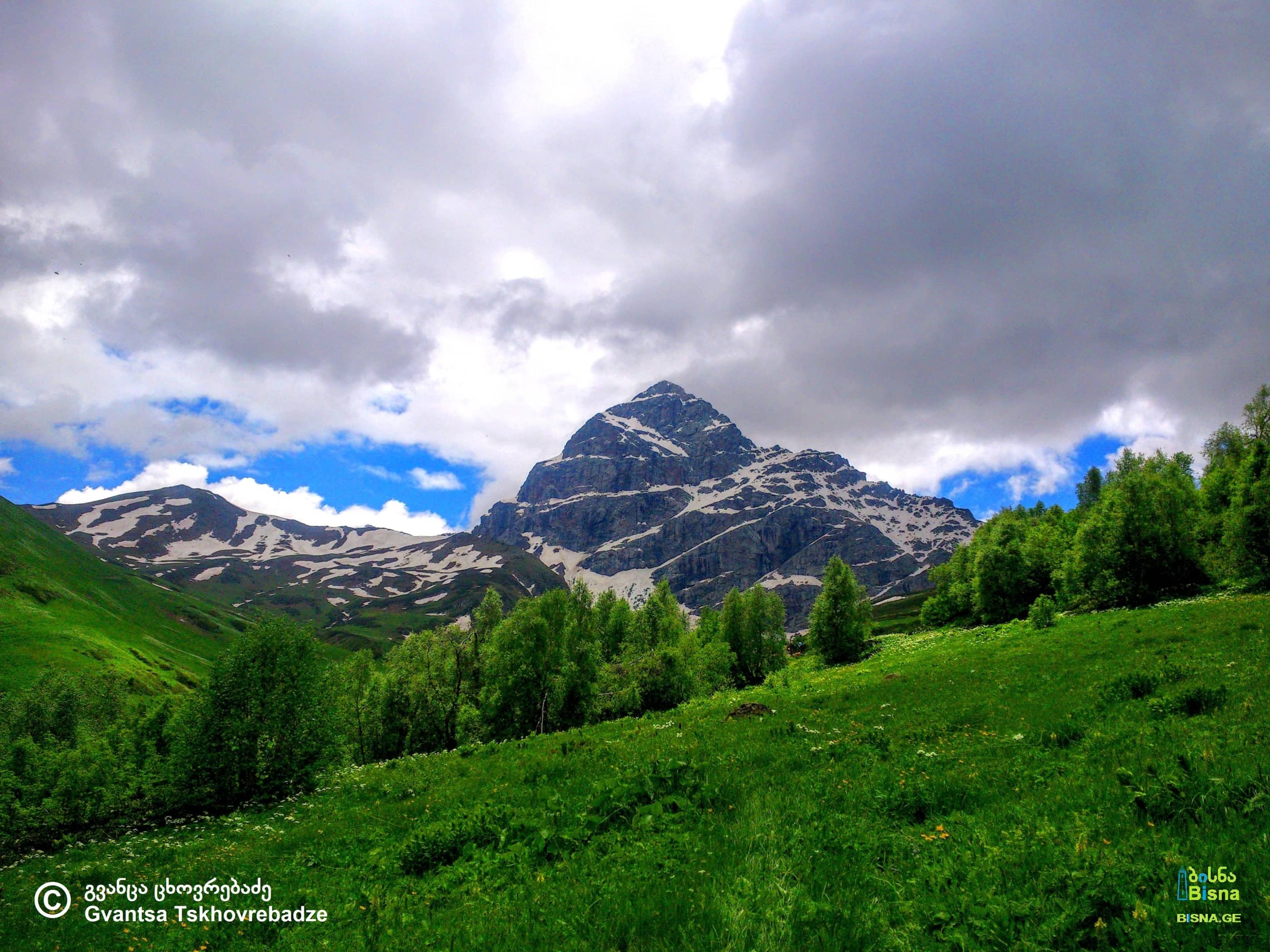
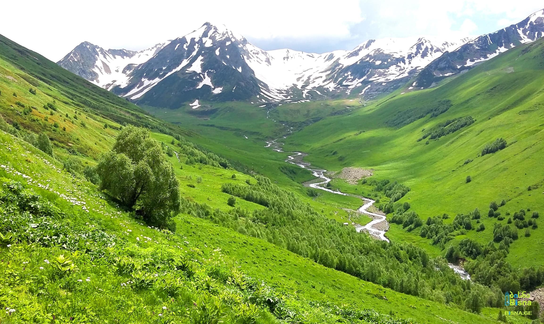
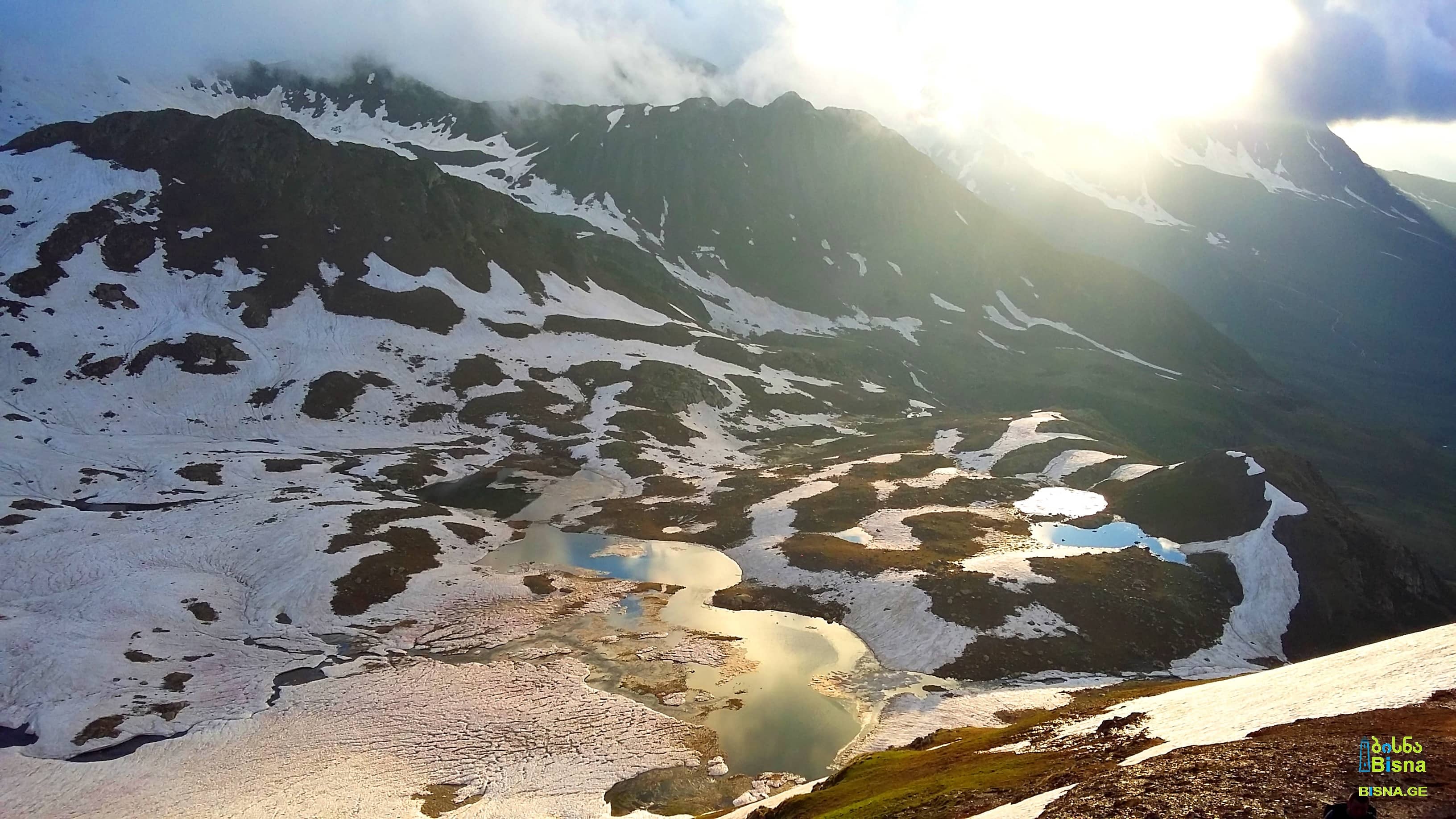
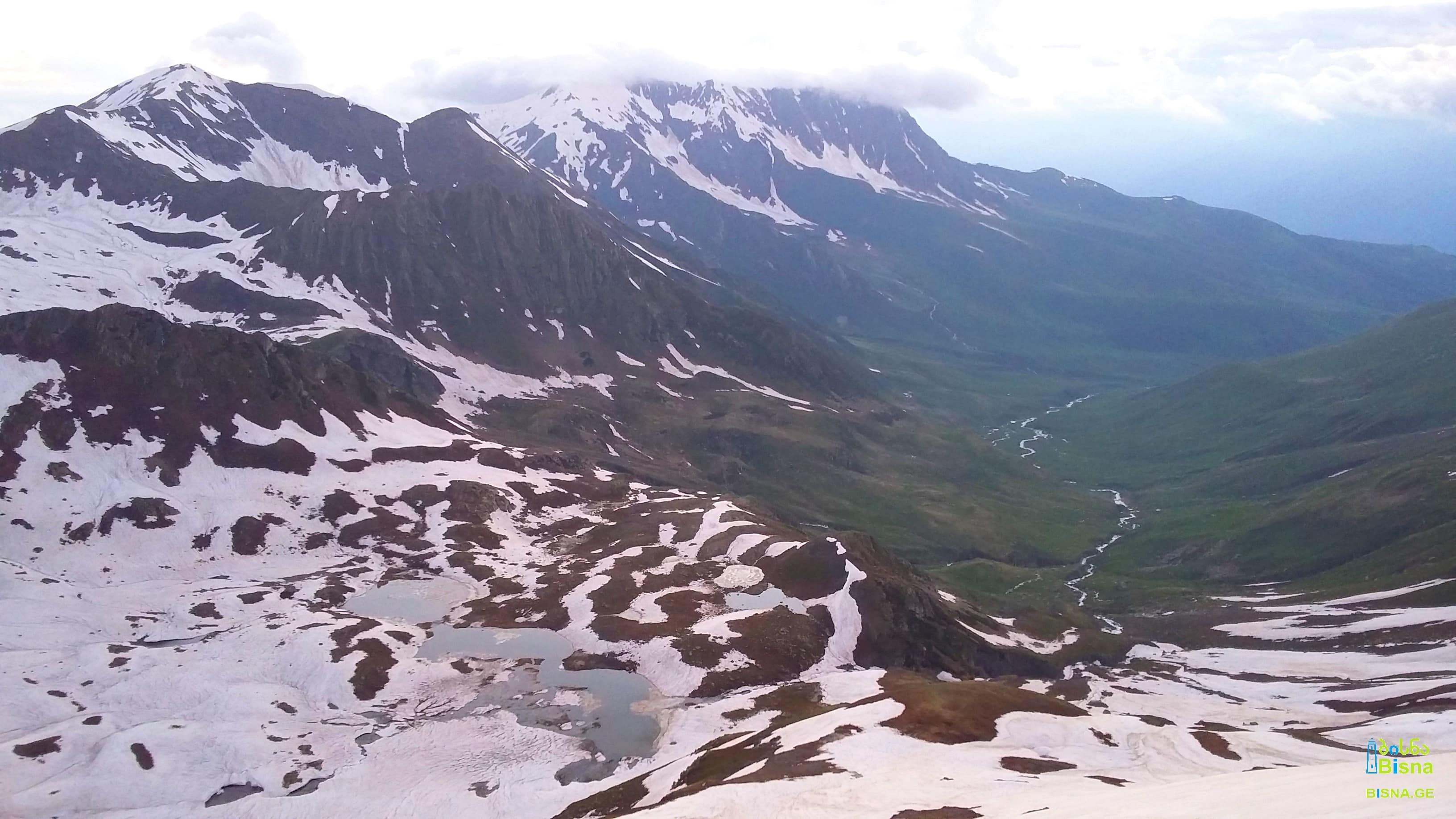
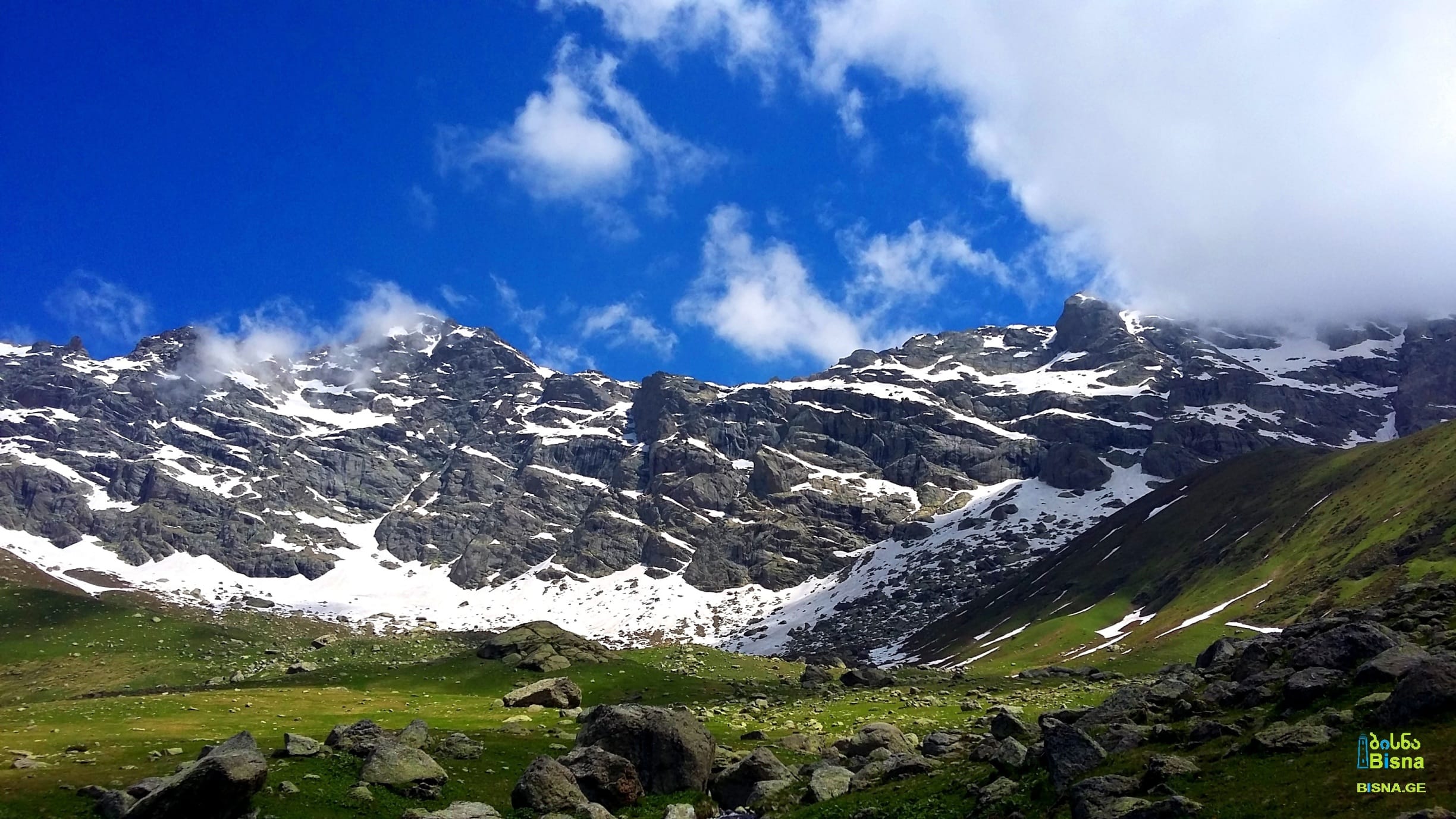
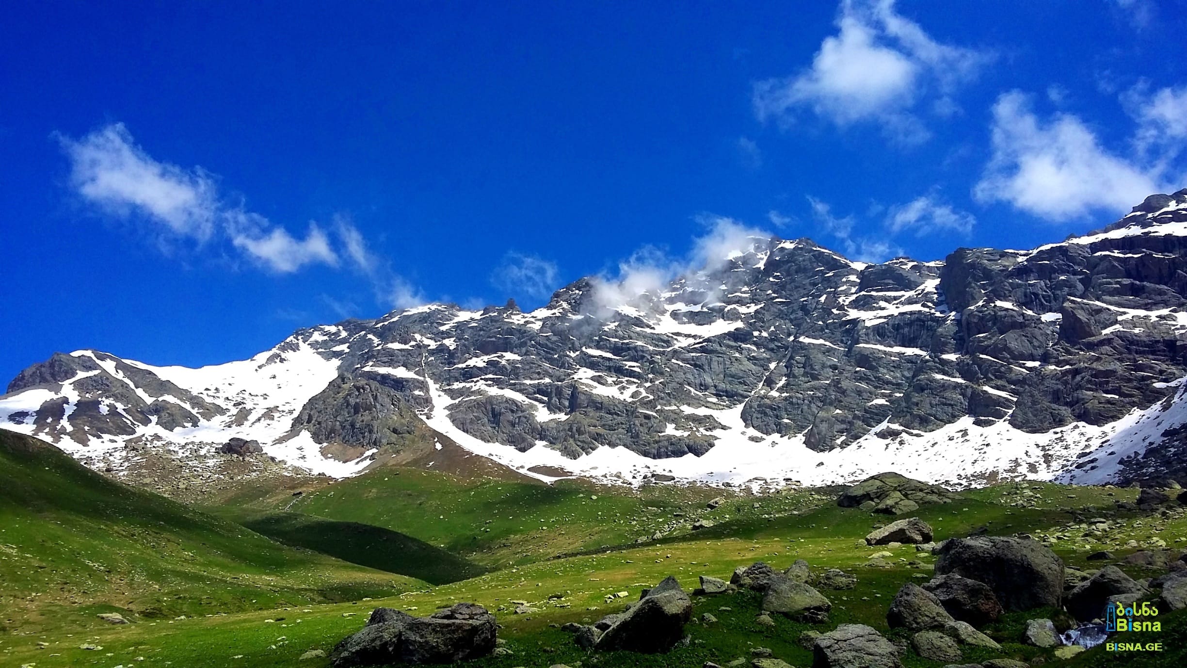
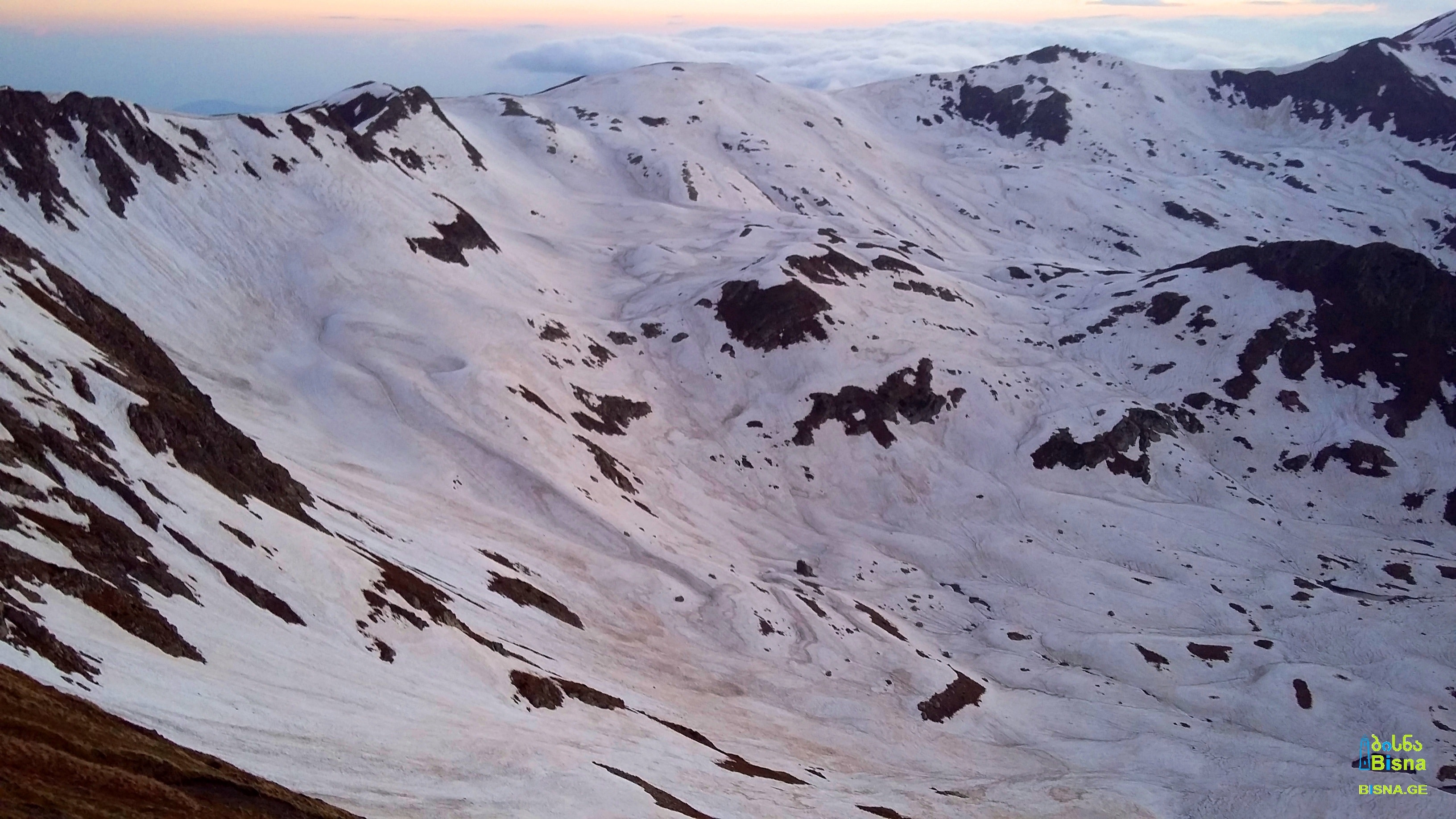
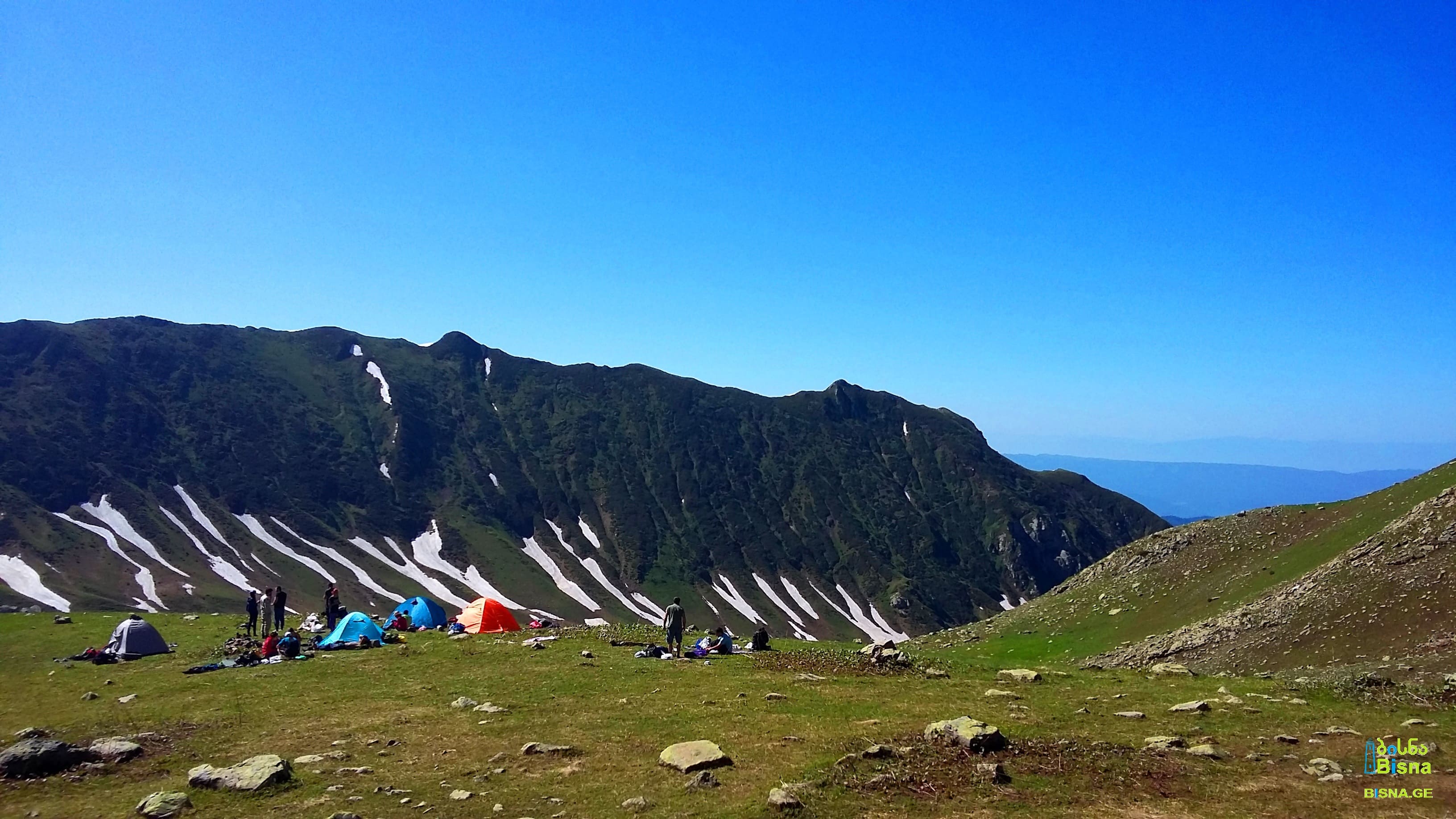
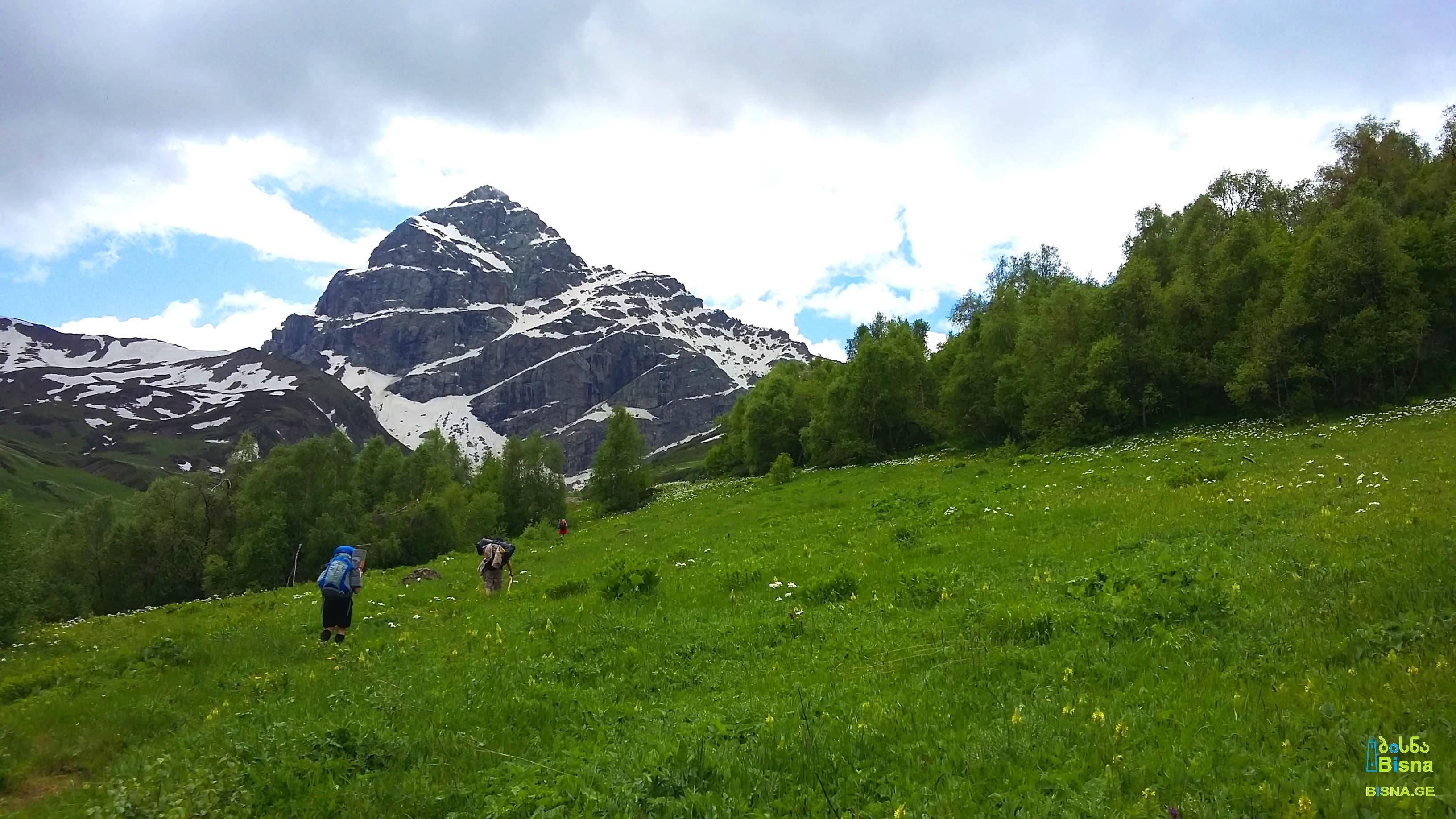
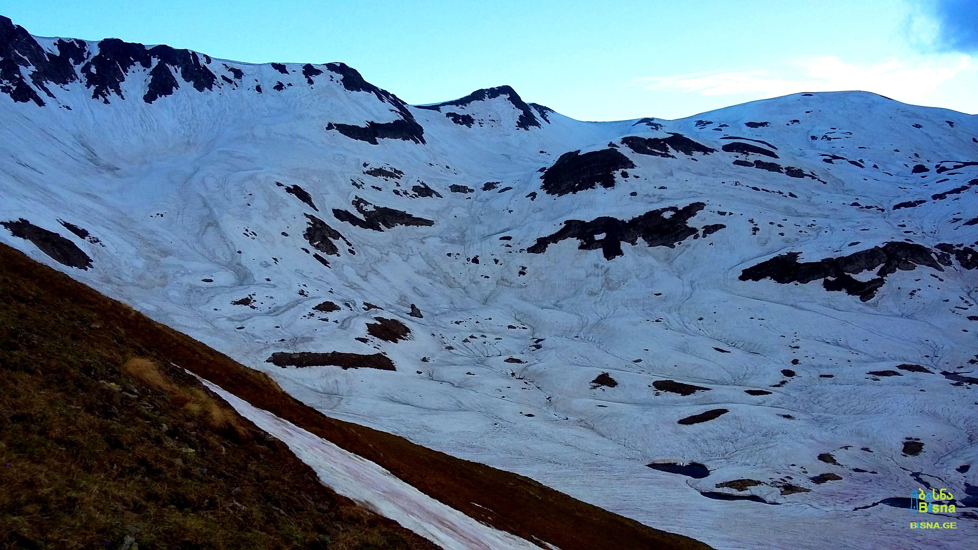
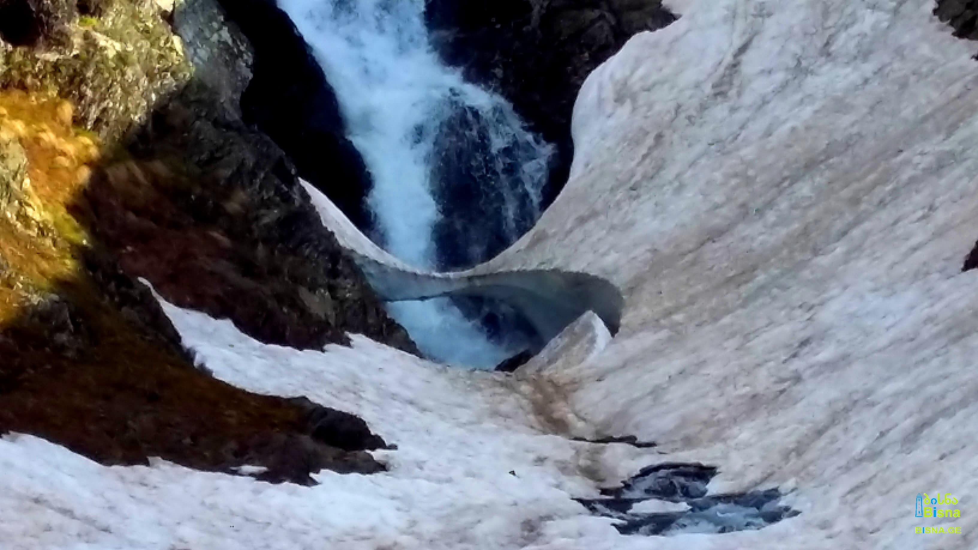
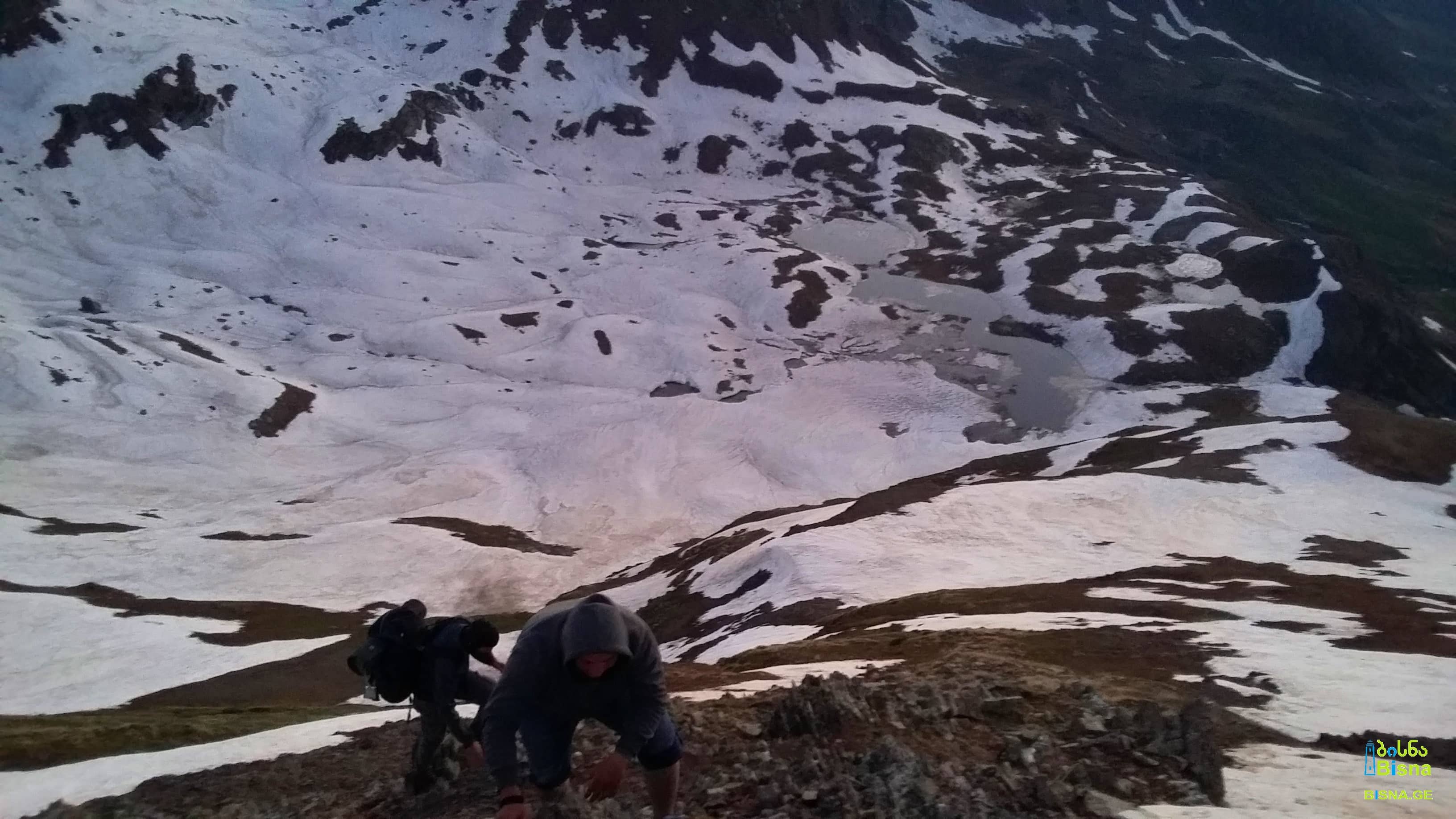
The picturesque Chutkharo route commences from Mele village in Kvemo Svaneti (Lower Svaneti), located within the Lentekhi Municipality. Upon passing through the villages of Margvishi and Ghobi, the trail transitions into a forested ascent. Subsequently, the forest gives way to an alpine landscape, culminating in the crossing of a glacier at Chutkharo Pass. Situated on the Lechkhumi Range, Chutkharo Pass acts as a natural boundary, separating Lechkhumi and Racha from Kvemo Svaneti. Upon descending from Chutkharo Pass, hikers traverse the lengthy valley of Ritseula River, eventually concluding their journey in Sadmeli village.
The breathtaking mountainous vistas of Svaneti and Racha, coupled with the awe-inspiring views of the colossal rocky and snowy massif of Chutkharo, render the Chutkharo route one of Georgia's most picturesque and captivating hiking destinations.
Sources of Ghobshura River, Kvemo Svaneti

Location:
● Kvemo Svaneti [Lower Svaneti] (Lentekhi Municipality) & Kvemo Racha [Lower Racha] (Ambrolauri Municipality), Georgia
Duration:
● Total: 4-5 days
● Hiking/Trekking: 2-3 days
Extreme elevation difference:
2443 m / 8015 ft ?
Total hiking distance:
42,2 km / 26,2 miles
The circumstances to be considered:
● Find our terms and conditions here.
● Slippery ascent(s)
● Slippery descent(s)
● Ascent(s) on glacier(s)
● Descent(s) on glacier(s)
● Steep ascent(s)
● Steep descent(s)
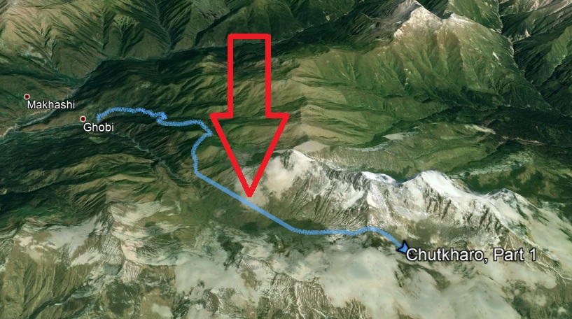
● In our maps, the GPX file of the first part of the route has a minor defect: for several kilometers before the last ascent of Chutkharo Pass, just a straight line is shown instead of a precise trajectory of the route:
Various amateur videos:
The picturesque Chutkharo route commences from Mele village in Kvemo Svaneti (Lower Svaneti), located within the Lentekhi Municipality. Upon passing through the villages of Margvishi and Ghobi, the trail transitions into a forested ascent. Subsequently, the forest gives way to an alpine landscape, culminating in the crossing of a glacier at Chutkharo Pass. Situated on the Lechkhumi Range, Chutkharo Pass acts as a natural boundary, separating Lechkhumi and Racha from Kvemo Svaneti. Upon descending from Chutkharo Pass, hikers traverse the lengthy valley of Ritseula River, eventually concluding their journey in Sadmeli village.
The breathtaking mountainous vistas of Svaneti and Racha, coupled with the awe-inspiring views of the colossal rocky and snowy massif of Chutkharo, render the Chutkharo route one of Georgia's most picturesque and captivating hiking destinations.
Sources of Ghobshura River, Kvemo Svaneti
Search/Filter
